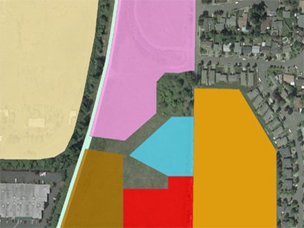
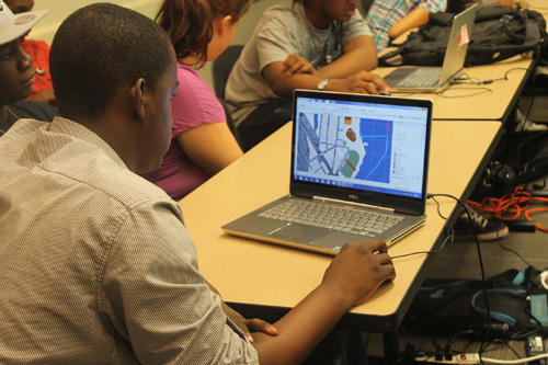
CommunityViz is a flexible, customizable platform that brings the data together to help provide answers.
CommunityViz plugs into ArcGIS-brand software from ESRI (the world’s leading GIS platform) and adds a large suite of extra functions that combine with ArcGIS to make a more specialized, powerful decision-making platform: tools for setting up alternative future scenarios and analyzing their effects; tools for making interactive three-dimensional (3D) models of real places as they are now and as they could be in future; tools for explaining and communicating across the many groups of people who are involved in making decisions.

Cities, towns, and regions all over the world are facing complex questions about the future. Communities need to decide how economic, environmental, and social considerations can be addressed and woven together to create vibrant places to live—both now and in the future.
With myriad factors in play, making wise, informed decisions requires combining science, data, and points of view from many fields at once.

The people and organizations that use CommunityViz are diverse. They work in countries all over the world and they include:
Try viewing some of the video demos on this site to get a better idea of how CommunityViz works, or read some of the case studies. Or, please feel free to email; we are always happy to talk about CommunityViz and how it may be useful to you or a place you know.