About CommunityViz

CommunityViz® for Pro, Coming Soon to 2024

COMMUNITYVIZ® NOW AT TEXAS A&M AGRILIFE EXTENSION SERVICE. WHY EXTENSION?

CommunityViz began in the late 90’s as an idea with the Orton Family Foundation to make the planning process more accessible to ordinary citizens. After initial software development by the Foundation, it was commercialized and further developed through Placeways, under the leadership of Doug Walker. I recall my first interaction with the product in 2003, seeing how its live, interactive mapping tools could transform collaboration and planning.

In 2011, CommunityViz was recognized as the ArcGIS plugin of the year, and ESRI President, Jack Dangermond, touted the software’s ability to open the planning process to more people, taking out the guesswork and speculation in the planning equation. Matt Noonkester, President of City Explained, INC., acquired the software in 2016, and continued investing in its potential to support informed, collaborative decision making, while also bringing the software into the ArcGIS Pro era.

City Explained reached out to the TCWP team, a long-time power user of the software, to discuss a vision for the product’s future. We are thrilled to bring this software to Texas A&M AgriLife Extension Service, where there is a bright future for the power and potential of CommunityViz to continue transforming how communities plan.

So, why is the university extension program a good home for CommunityViz? The Extension system was established over a century ago with the mission of transferring knowledge and tools from the great research institutions of our nation to communities wanting to make more informed decisions. This mission of university-community engagement aligns perfectly with the vision for CommunityViz software. For more than ten years, the TCWP planning program was built with CommunityViz at its center, using its interactive maps and tools to visualize how communities can become stronger and more resilient. We have seen in real-time the ‘ah-ha’ moment as participants work through scenarios at local workshops. Moments like these validate that original vision of making planning accessible to ordinary citizens.

Today we are actively hiring staff to develop CommunityViz Pro for release and to work closely with its end users to build and improve features that solve their challenges. We are also developing solutions to make the software accessible to more communities. The design of CommunityViz is a durable one, and we look forward to continuing its success at Extension.

— Steven Mikulencak, AICP
Planning Programs Director


“CommunityViz has been fantastic thus far. It’s allowed to do much more in-depth analyses than we were able to in the past, and I wanted to pass along that information to you and a big thank you! It’s been a fun tool to work with.”

— Jackson Rand,  Senior GIS Planner,  Strafford Regional Planning Commission.


HOW COMMUNITYVIZ CAN HELP

  • What roads, schools, water, and infrastructure will be needed in the future?
  • Where should houses, apartments and commercial buildings go?
  • Will tax revenue be enough to pay for services?
  • How much will traffic increase?
  • Is there a way to lessen the impacts of development?
  • What will happen to the natural environment?
  • What can be done to improve quality of life?

Map with colorful graphic overlays

Cities, towns, and regions all over the world are facing complex questions about the future. Communities need to decide how economic, environmental, and social considerations can be addressed and woven together to create vibrant places to live—both now and in the future.

With myriad factors in play, making wise, informed decisions requires combining science, data, and points of view from many fields at once.


HOW COMMUNITYVIZ WORKS

CommunityViz is a flexible, customizable platform that brings the data together to help provide answers.

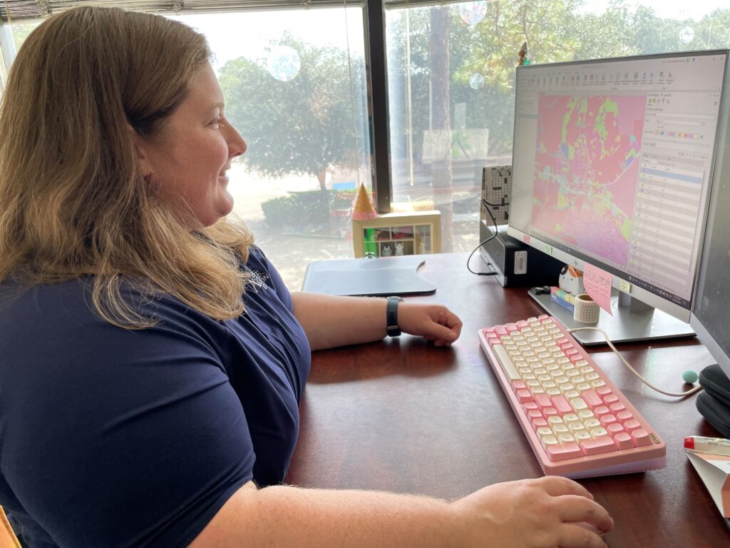
CommunityViz plugs into ArcGIS-brand software from Esri (the world’s leading GIS platform) and adds a large suite of extra functions that combine with ArcGIS to make a more specialized, powerful decision-making platform: tools for setting up alternative future scenarios and analyzing their effects; tools for making interactive three-dimensional (3D) models of real places as they are now and as they could be in future; tools for explaining and communicating across the many groups of people who are involved in making decisions.


WHO USES COMMUNITYVIZ

Man working on a laptop

The people and organizations that use CommunityViz are diverse. They work in countries all over the world and they include:

  • State and regional governments of all sizes
  • Regional planning and transportation agencies
  • Federal agencies
  • Professional firms and consultants
  • Universities and academic institutions
  • Non-profit organizations


NEED MORE INFORMATION?

Try viewing some of the video demos on this site to get a better idea of how CommunityViz works, or read some of the case studies. Or, please feel free to email; we are always happy to talk about CommunityViz and how it may be useful to you or a place you know.